Longtime KOMO-TV news anchor Dan Lewis is a guest contributor to Seattle Bloggers. Since his retirement from television, he’s found a passion for hiking, snowshoeing, and traveling. If he can go somewhere with his camera — that’s where you’ll find him. Not to mention, he’s also Tim’s dad. In this post, Dan writes about his experience on the Wenatchee Crest snowshoe.
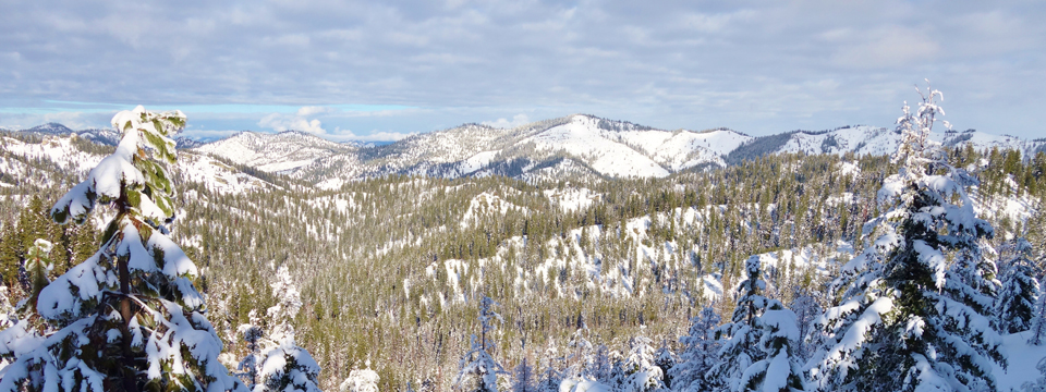
Wenatchee Crest is located at Blewett Pass. At first, I thought it was too far away from Seattle — but it’s not really. From downtown, the drive is just a little more than an hour and a half. From the eastside, say Sammamish or Issaquah, it’s 1:15. And if you’re looking for a winter wonderland, this definitely fits the bill. The views are unlimited and awesome. On a clear day you’ll be able to see Mount Rainier to the south, Glacier Peak to the north, the Enchantments to the west, and for most of the trail you will have views of the Wenatchee Mountains.
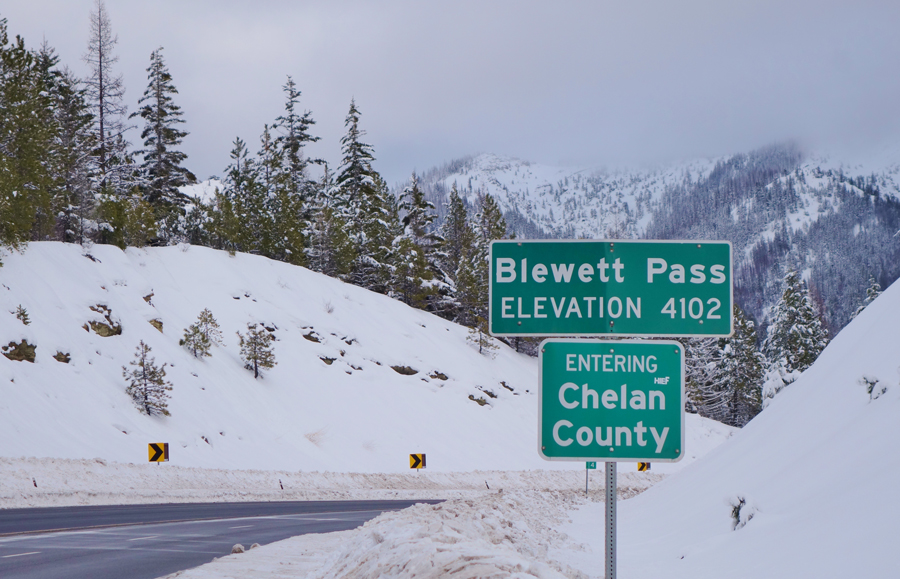
The day I went to Wenatchee Crest in January, the roads were in great shape (I-90 to Hwy 97) and there was plenty of parking. It was a weekday (I’m sure weekends are more crowded) and the lot across the road from the trailhead is large. The trail is about 3 miles out (6 miles roundtrip). I only went about 2 miles and was so satisfied with the snow conditions, the beauty along the trail, and the remarkable views, that I turned back and was in my car again after about 3 hours. I stopped often on the trail to take pictures and to just take it all in. The trail was in great shape. No obstacles. I only saw two couples while I was out there. One couple on skis; the other on snowshoes. We all marveled at what a beautiful day it was and how enjoyable the trail is. There’s not much elevation gain (400 feet) so it’s pretty easygoing.
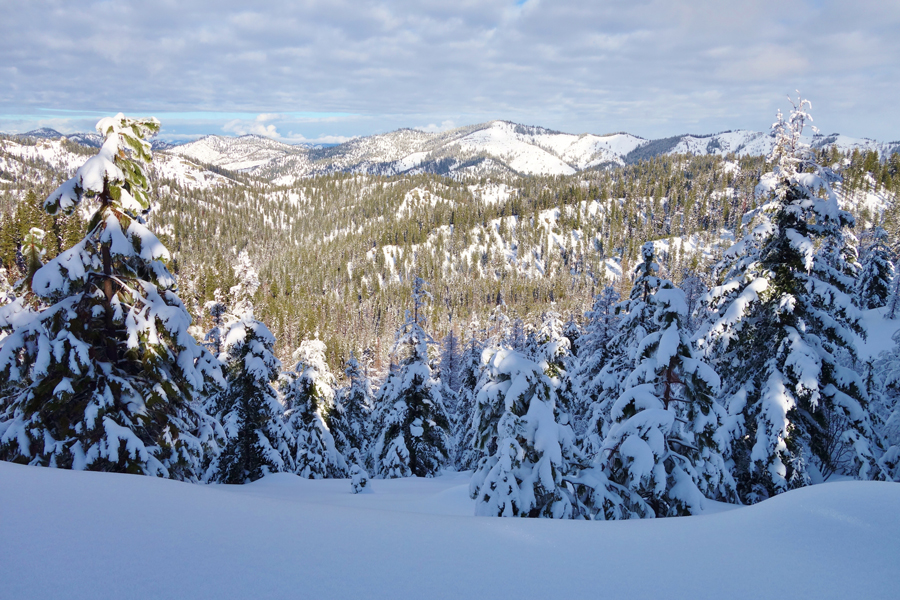
Starting at the north end of the parking area on the west side of Highway 97 (I parked in the much larger lot on the east side of the highway), the route follows Forest Road 800, climbing moderately through forest to a junction half a mile up. Take the left-hand fork (it’s marked with a cross country ski sign) to continue along the ridge; the right hand fork drops down into Scotty Creek. As you wander through the forest of mostly fir and hemlock, you’ll also notice a few bare western larch. There are several openings to see out to the valley below and the nearby snow-covered mountains.
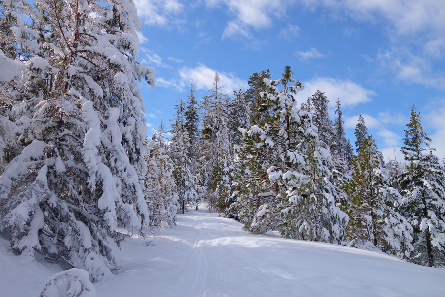
After another mile or so (I didn’t go quite that far so I’ll quote a description I found online) “the road makes a sharp bend to the left and traverses toward Point 4411 with views of the Stuarts and an occasional glimpse of Mount Rainier. After another quarter of a mile, just past the point, come to a large clear-cut with an unobstructed panorama of the Tearaway Mountains and the entire Stuart Range – all the way from Miller Peak to the Peshastin Valley. This makes a good lunch stop and turnaround point.”
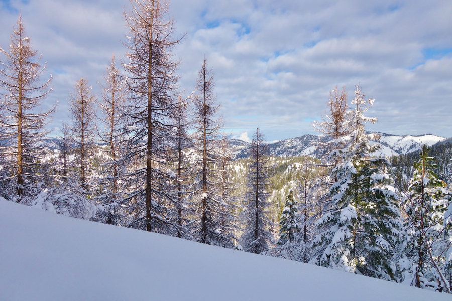
If you’re able to hit this beautiful trail on a clear day, and if you enjoy a good snowshoe adventure, I’m pretty sure you’ll love the Wenatchee Crest. I sure did. Have fun!!
Weather: View weather forecast. View avalanche forecast.
Difficulty: Easy+
Length: 6.0 mi
Elevation Gain: 400 ft
High Point: 4,500 ft
Land Manager: Okanogan-Wenatchee National Forest
Parking Permit Required: SnoPark Pass
Have you ever done the Wenatchee Crest snowshoe? How was your experience? We’d love to hear from you! Please leave a comment below or connect with us on Twitter, Facebook, and Instagram. You can also find Dan Lewis directly on Twitter, Facebook, and Instagram.
Don’t forget to also check out Seattle Bloggers for more great adventures around the Emerald City. And if you’re interested in showshoeing, be sure to check out our adventures at Gold Creek Pond, Keechelus Lake, Mount Baker, Mount Rainier, and even Crater Lake in Oregon.

